GODAVARI CAUVERY INTERLINKING PROJECT
05, Mar 2020
Prelims level : Rivers
Mains level : GS-I Important Geophysical phenomena such as earthquakes, Tsunami, Volcanic activity, cyclone etc., geographical features and their location - changes in critical geographical features (including water bodies and ice-caps) and in flora and fauna and the effects of such changes.
Why in News?
- A day after the National Interlinking of River Authority (NIRA) was proposed, the CM of Tamil Nadu has sought discussion on implementation of the Cauvery Godavari river interlinking project with his counterpart CM of Andhra Pradesh.
About Godavari Cauvery Interlinking Project:
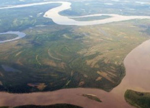
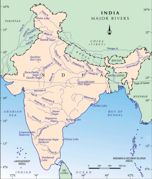
- The project envisages the diversion of 247 thousand million cubic feet (tmcft) of unutilised water in the Indravati sub-basin of the Godavari basin to meet the requirements between the Godavari and the Cauvery rivers.
- Water will be diverted from Godavari River to Nagarjuna Sagar dam (through lifting) and further south to meet the demands of Krishna, Pennar and Cauvery basins.
- The Godavari – Cauvery link comprises three components namely,
- the Godavari (Inchampalli/Janampet) – Krishna (Nagarjunasagar),
- the Krishna (Nagarjunasagar) – Pennar (Somasila) and
- the Pennar (Somasila)–Cauvery.
- The project will provide irrigation facilities to 3.45 to 5.04 lakh hectares in Prakasam, Nellore, Krishna, Guntur, and Chittoor districts of Andhra Pradesh.
About the Rivers:
1. Godavari River
- Source: Godavari River rises from Trimbakeshwar near Nasik in Maharashtra and flows for a length of about 1465 km before out falling into the Bay of Bengal.
- Drainage Basin: The Godavari basin extends over states of Maharashtra, Andhra Pradesh, Chhattisgarh and Odisha in addition to smaller parts in Madhya Pradesh, Karnataka and Yanam (Union territory of Puducherry in East Godavari district of Andhra Pradesh).
- Tributaries: Pravara, Purna, Manjra, Penganga, Wardha, Wainganga, Pranhita (combined flow of Wainganga, Penganga, Wardha), Indravati, Maner and the Sabri.
2. Krishna River
- Source: It originates near Mahabaleshwar (Satara) in Maharashtra.
- Drainage Basin: It runs from four states namely, Maharashtra, Karnataka, Telangana and Andhra Pradesh before emptying into the Bay of Bengal.
- Tributaries: Tungabhadra, Mallaprabha, Koyna, Bhima, Ghataprabha, Yerla, Warna, Dindi, Musi and Dudhganga.
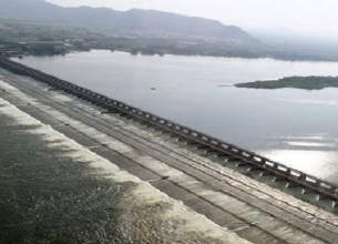
- Nagarjunasagar dam is on the river Krishna.
3. Pennar River
- Source: It rises in Nandi Hills in Chikballapur District of Karnataka and runs north and east before emptying into the Bay of Bengal.
- Drainage Basin: It is 597 kilometres long, with a drainage basin covering 55,213 km2 in Karnataka and Andhra Pradesh.
- Tributaries: Jayamangali, Kunderu, Sagileru, Chitravathi, Papagni and Cheyyeru.
4. Cauvery River
-
- Source: The River rises on Brahmagiri Hill of the Western Ghats in south western Karnataka.
- Drainage Basin: It flows in a south easterly direction through the states of Karnataka and Tamil Nadu, and descends the Eastern Ghats in a series of great falls. Before emptying into the Bay of Bengal south of Cuddalore, Tamil Nadu, the river breaks into a large number of distributaries forming a wide delta called the “garden of southern India.”
- Tributaries: Arkavathi, Hemavathi, Lakshmana Theertha, Shimsa, Kabini and Harangi.
What are the benefits of the Project?
- The backwaters will be carried through Krishna and Pennar using steel pipes instead of developing canals en route as suggested by a non-resident engineer from Andhra Pradesh.
- By doing so, wastage of water from canals through vaporisation could be prevented and overall cost reduced.