

NAVIGATION WITH INDIAN CONSTELLATION (NAVIC)
18, Jul 2019
Prelims level : Science & Technology- Space Technology
Mains level : GS-III- Science and Technology - developments and their applications and effects in everyday life Achievements of Indians in science & technology; indigenization of technology and developing new technology.
Why in News?
- The navigation system that Indians use on their mobile phones and cars could be set for a reboot.
- It has been reported that ISRO is in talks with processing chip manufacturers such as Qualcomm to substitute the existing Global Positioning System (GPS) with the Indian version of satellite navigation.
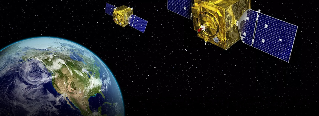
NavIC:
- NavIC is an independent Indian satellite-based positioning system for critical national applications.
- India got its system with the launch of the IRNSS 1-G satellite, is the seventh member of the Indian Regional Navigation Satellite System (IRNSS), in November 2017.
- It consists of a constellation of seven satellites, three of which are in a geostationary orbit and four in a geosynchronous orbit.
- The IRNSS can provide Standard Positioning Service (SPS) to all users, and an encrypted Restricted Service (RS) to authorised users.
- It has position accuracy better than 20 metres in the primary service area.
- Its purpose is to provide reliable position, navigation and timing services over India and neighbourhood.
Service coverage:
- The regional navigation satellite system can provide accurate position information service to users in India and the region, extending up to 1,500 km from its boundary, which is its Primary Service Area.
- Beyond that lies an Extended Service Area, that can extend up to the edges of the area enclosed by the rectangle imagined by latitudes 30 degrees South and 50 degrees North, and longitudes 30 degrees East and 130 degrees East.
- The GPS is a satellite-based radio navigation system that is owned by the United States government and operated by the United States Air Force.
- Apart from GPS, there is GLONASS of Russia, Galileo of the European Union and BeiDou Navigation Satellite System (or BDS) of China.


