DISCOVERY OF ANCIENT BURIED RIVER IN U.P
01, Oct 2019

Prelims level : Geography
Mains level : GS-I- Geographical Features and their Location - Changes in Critical Geographical Features (Including Waterbodies and Ice-Caps) and the effects of such changes.
Why in News?
- The Union Water Ministry has excavated an old, dried-up river in Prayagraj (formerly Allahabad) that linked the Ganga and Yamuna rivers.
About the River:
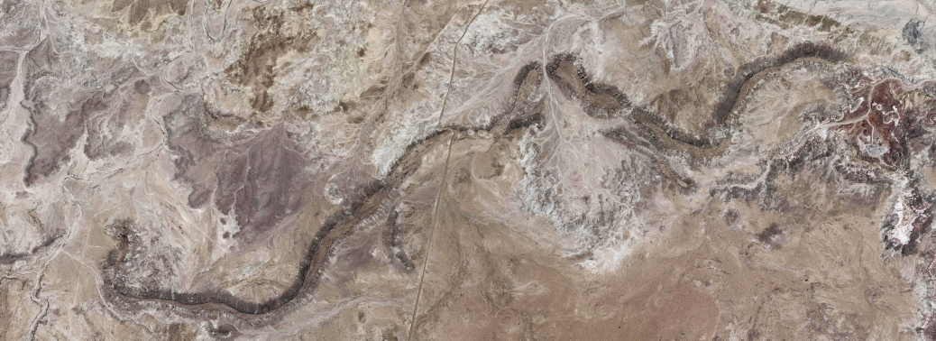
- The “ancient buried river” is mapped to be around 4 km wide, 45 km long and consisted of a 15-metre-thick layer buried under soil.
- It was a buried paleochannel that joins the Yamuna river about 26 km south of the current Ganga-Yamuna confluence at Prayagraj.
- These paleochannels reveal the course of rivers that have ceased to exist.
Benefits:
- 1. Knowledge on subsurface connectivity might play a very crucial role in planning of Ganga cleaning and protecting safe groundwater resources
- 2. It was also claimed that based on the conclusions on reports and maps of Paleo-channels in north India, it will be useful to map the aquifers (extremely deep stores of groundwater) by the Central Groundwater Board.
- 3. It also helps to develop a potential groundwater recharge source, according to officials at the National Mission for Clean Ganga (NMCG), a body under the Union Jal Shakti Ministry that coordinates the cleaning of the Ganga.
About NMCG:
- National Mission for Clean Ganga (NMCG) was registered as a society under the Societies Registration Act 1860.
- It acted as implementation arm of National Ganga River Basin Authority (NGRBA) which was constituted under the provisions of the Environment (Protection) Act (EPA),1986.
- NGRBA has since been dissolved with effect, consequent to constitution of National Council for Rejuvenation, Protection and Management of River Ganga (referred as National Ganga Council).
- Now, NMCG acts as the implementation wing of the National Ganga Council.
It has a two-tier management structure that comprises of Governing Council and Executive Committee. - Both of them are headed by Director General (DG), NMCG.
About Paleochannel:
- A palaeochannel is a remnant of an inactive river or stream channel that has been filled or buried by younger sediment. A palaeochannel is distinct from the overbank deposits of currently-active river channels, including ephemeral water courses that do not regularly flow.
- Paleochannels typically act as pathways for groundwater movement and provide a potential source of groundwater. Their presence can be helpful in identifying areas suitable for recharge.


