

LUNAR RECONNAISSANCE ORBITER (LRO)
18, Sep 2019
Prelims level : Science & Technology- Space Technology
Mains level : GS-III- Awareness in the fields of IT, Space, Computers, Robotics, Nano-Technology, Bio-Technology and Issues Relating to Intellectual Property Rights.
Why in News?
- ISRO’S attempts to figure out what happened to Chandrayaan-2’s Vikram will get a boost when NASA’s Lunar Reconnaissance Orbiter (LRO) flies over the lander’s landing site on the Moon.
- NASA will share any before and after flyover imagery of the area around the targeted Chandrayaan-2 Vikram lander landing site.
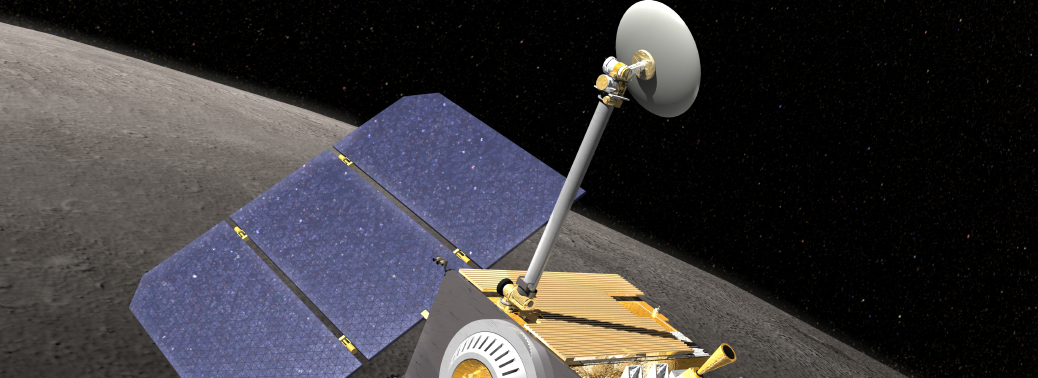
Lunar Reconnaissance Orbiter (LRO):
- The Lunar Reconnaissance Orbiter and Lunar Crater Observation and Sensing Satellite missions began on June 18, 2009. It is a robotic spacecraft currently orbiting the Moon.
- It studies the Moon’s surface, clicks pictures, and collects data that help in figuring out the presence and possibility of water ice and other resources on the Moon, as well as plan future missions to it.
- The primary mission of the LRO, managed by NASA’s Goddard Space Flight Center, located in Greenbelt, Maryland, was to measure the entire lunar surface to create a high-resolution 3-D map of the Moon.
- The map with ~50-centimeter resolution images would aid in the planning of future robotic and crewed missions.
- In addition, LRO would map the Polar Regions and search for the presence of water ice.
The Mission:
- The mission has provided technical innovations and made surprising discoveries that have changed our view of the Moon.
- The instruments on board the spacecraft return global data, such as day-night temperature maps, a global geodetic grid, high resolution color imaging and the moon’s UV albedo.
- It is estimated that the LRO has fuel enough to stay on its mission for at least six more years.
Achievements of LRO:
- Some of LRO’s technical innovations include the first global thermal mapping of a planetary body covering a full range of local times and seasons.
- It carries the first bi-static radar imaging measurements from Earth to a planetary orbiter.
- It has provided more than five years of laser altimetry measurements yielding more than 8 billion topographic points, better than any other object in the Solar System.
- On March 15, 2011, LRO provided more than 192 terabytes of data from its primary mission to its Planetary Data System, or PDS, to make the information available to researchers, students, media, and the general public.


