

River Siang
02, Aug 2018
Prelims level :
Mains level : Paper – II India & its Neighbourhood Relations.
Why in news?
- Assam and Arunachal Pradesh, two of India’s North eastern states have been put on high alert after China reported that there has been a rise in the Tsangpo river’s water level due to heavy rainfall.
- The state governments have been directed by the Centre to remain alert after it received thereport from the Chinese government.
- According to the report, the Tsangpo river is swelling “with an observed discharge of 9,020 cumec.”
- The report highlights that it is the highest level the river has reached in the last 50 years.
About the River Siang:
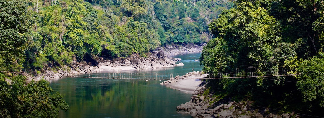
- The Tsangpo, which originates in China, is called the Siang after it enters India through Upper Siang district in the north eastern state.
- The Siang joins two other rivers – the Lohit and the Dibang – downstream to form the Brahmaputra.
Reasons behind the disputes between Sino-India relating Siang:
- China’s Tibetan plateau, nestled in the Himalayas, is the source of Asia’s 10 major river systems, including the Yellow, Yangtze, Indus, Sutlej, Brahmaputra, Salween, and Mekong. It is no wonder many refer to Tibet as the “Water Tower of Asia.”
- The glaciers in China’s Tibet are melting at a faster rate, and coupled with growing water scarcity and a widening north-south regional water gap, China will face increasing pressure to implement a controversial upstream water diversion plan in its western provinces. This plan will threaten India since the downstream portion of the Brahmaputra River flows through a disputed area with strong implications for national sovereignty. Both states will then increase their security postures in an already heavily militarized border region.
- The conflicting indicators have led to an ongoing debate over the true intentions of Chinese water diversion plans for its western route. Meanwhile, China officially announced plans to build a network of up to five massive dams on the Yarlung Tsangpo River for the purpose of generating hydroelectricity—not water diversion. In Fall 2014, it completed construction of the Zangmu Dam, the first of these hydropower dams along the Yarlung Tsangpo River. Many in India believe these hyro- power dams are the first step in the process to construct the additional infrastructure needed to divert water.
- As China’s economic growth continues its downward trajectory, popular nationalism will threaten the Chinese Communist Party’s ability to pursue a foreign policy uninfluenced by populism and public opinion. The likely net result: a likely water war between the two states.
- The area in which China’s Yarlung Tsangpo River becomes India’s Brahamaputra River is called the Arunachal Pradesh. Both China and India claim this region. This territorial dispute is all the more sensitive because it is linked to the sovereignty of both countries. China cannot give up its claim without simultaneously weakening its claim of sovereignty over Tibet, which it took by force in 1950. For India, the Arunachal Pradesh is the site of a humiliating defeat by the Chinese in 1962.
- The Arunachal territorial dispute became linked to a core issue—China’s claim of sovereignty over Tibet. Once China invaded and occupied Tibet in 1950, both the Johnson Line and the McMahon Line became contested borders between India and China.


